Wancennes
The village covers an area of 1200 hectares. The soil is limestone and silt in the north, schist in the centre and rocky (sandstone) in the south.
The church
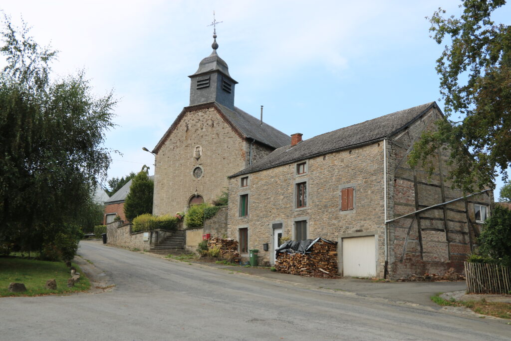
This building, built in 1777, is dedicated to Saints-Gervais-et-Protais.
Viewpoint – La rue du Chapy (50.0958083,4.9757783)

A beautiful place to admire the Calestienne, a strip of limestone several dozen kilometres long. This part generates a specific flora, landscapes and even influences history. It is also the reason why Beauraing is a Geopark.
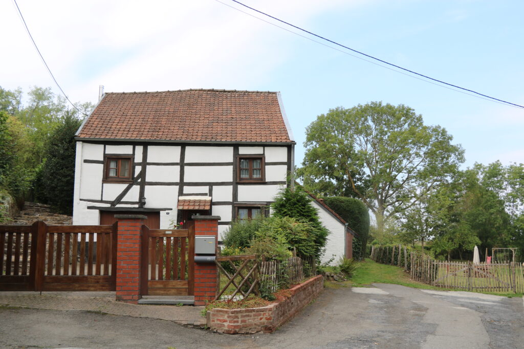
Half-timbered houses
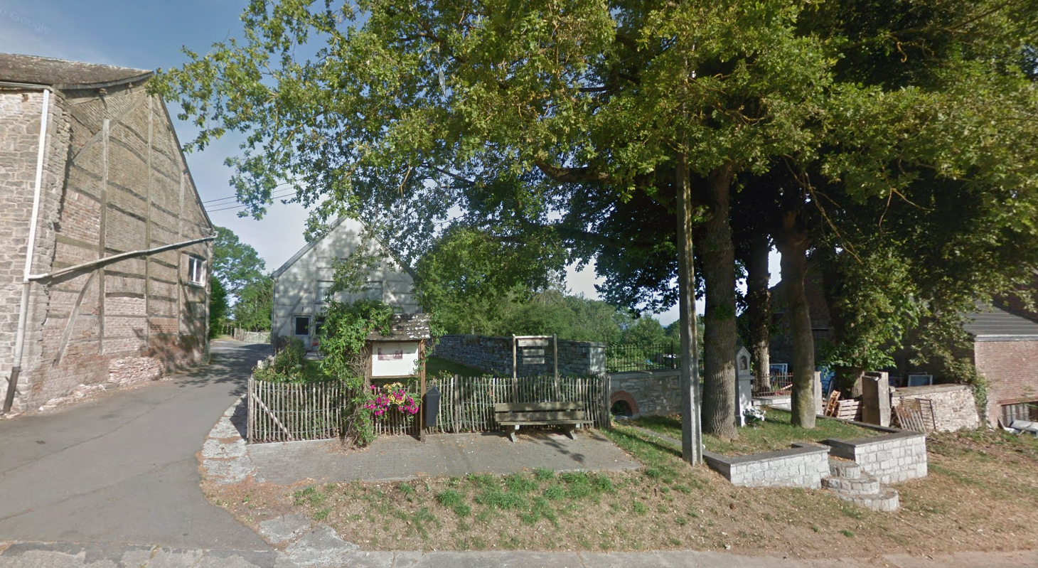
The old watering hole

This circular drinking trough, made of large blue stone slabs, dates from the 19th century and was once fed by a small public fountain, commonly known as a hydrant.
The blue stone wash house

The purpose of this basin was to allow the laundry to be rinsed after being washed.
Good to know:
Between 1883 and 1884, archaeological excavations were carried out in Wancennes and the remains of a Roman villa and its agricultural outbuildings were found. In addition, there was also pottery, weapons and pottery used by the Gauls. Other traces are also proof of the existence of a Roman cemetery and a Frankish cemetery in the area. The remains are in the Namur Archaeology Museum.
Pour plus d’informations :
- https://dial.uclouvain.be/pr/boreal/object/boreal%3A140715/datastream/PDF_01/view
- https://www.persee.fr/doc/sracf_1159-7151_1993_act_6_1_928
- https://www.matele.be/beauraing-entre-dans-le-geopark
Good to know :
- there is an outdoor playground